Harnessing complex geospatial data for multi-domain intelligence missions

In an era where collecting, processing, exploiting and disseminating intelligence spans multiple domains and informs real-time decision-making, the ability to analyse and disseminate bulk geospatial data at scale has never been more vital.
Leidos is at the forefront of this advancement. With a strong presence in the U.K., Australia and the U.S., and through work in all aspects of geospatial intelligence, we support digital transformation across the whole of the Five Eyes Intelligence community.
As I look back on the past year, it's clear that technological advancements and operational challenges have significantly influenced how organizations approach data sharing within geospatial intelligence enterprises. At DGI, the world's leading geospatial intelligence event in London, I shared my perspective on the complexities of delivering geospatial data for multi-domain intelligence missions.
One of the most significant lessons of the past year is the increasing need for automation and AI-driven analytics (Gartner Top Predictions for 2025 report). Traditional manual analysis methods, while still valuable, struggle to keep pace with the sheer volume and velocity of captured data.
Organisations that have successfully integrated AI and machine learning into their workflows have reported faster insights and reduced human error, contributing to improved situational awareness.
What’s working and what isn’t?
Advanced geospatial analytics platforms powered by AI and cloud computing have proven invaluable for processing vast datasets in real time. It’s become increasingly clear that tools leveraging deep learning for object recognition, automated change detection, and predictive analytics are enabling decision advantage.
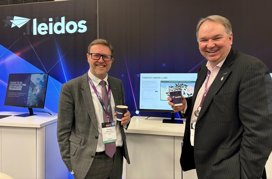
Furthermore, Leidos’s delivery of the U.K.’s Geospatial Intelligence integrated information environment, PICASSO, supports the UK’s National Centre for Geospatial Intelligence’s (NCGI) mission to provide impactful geospatial intelligence (GEOINT) and open-source intelligence that enhances U.K. Defence’s ability to understand and plan, target and navigate. Leidos is the prime contractor, responsible for the end-to-end delivery of the integrated information environment that enables the exploitation, production and dissemination of GEOINT, showing the need for collaboration and joint planning in order to provide a continuously developed, improved system that delivers critical capability.
However, challenges remain. Trust and verification of data is key and endures as an issue, especially as current commercial licenses are so restrictive. Whilst it’s fairly straightforward for governments to collaborate with each other, business to business collaboration is almost impossible, meaning that although Leidos works across three members of the Five Eyes community, we are unable to freely collaborate internally. Clearly, we need to improve collaboration to better exploit the development of solutions, and to unlock this we must leverage government customer support.
On a positive note, the use of Zero Trust means that we have an opportunity liberate the use of data sets, allowing highly granular permission setting which enables the enrichment of analysis. Going forward, it’s vital we don’t fixate on how to address issues with existing data sets, but rather focus on ensuring future collection and curation of data sets is well aligned to emerging analytical methods.
Where can we gain new advantages next in terms of speed?
It would be wrong to focus solely on speed; the next wave of advancements in geospatial data-sharing and exploitation will have impact on enhancing speed, accuracy, and reliability, albeit with trades between these outcomes. Some advantages can be achieved simply, such as outsourcing some processing to environments including cloud and SaaS where there is greater elasticity, assists with speed and reliability.
Looking farther ahead, there must be a paradigm shift toward conducting more analysis where the bulk of the data resides on the low side of the cloud, before bringing the resulting processed data or contextualised information back to the high side. There, they can be integrated with smaller volumes of exquisite data for final analysis and intelligence product creation. This approach will likely save time, reduce costs, and provide access to faster-evolving analytics capabilities. Additionally, it will enable experimentation within a low classification environment that can later be transitioned to a higher classification within a private cloud.
Accuracy is also vital in the context of AI. There’s an increasingly popular theory that value lies in building confidence within communities to trust AI-augmented outputs, rather than simply striving for higher technical accuracy. Moreover, tools such as those Leidos has developed through internally funded research and development, which assist rather than replace human judgment, highlight the importance of usability over sheer correctness.
Discover more about Leidos trusted mission ai
How will we succeed?
To achieve advancements, stronger partnerships between governments and the private sector are essential. There must be a more nuanced view from the government around intellectual property and what they are buying. Problems such as maintaining a world-beating geospatial intelligence enterprise are an integration challenge as much as product development and purchase, and so it is vital for partnerships to reflect this.
There is no silver bullet, and we must continuously assess how technological advances can help analyse and disseminate bulk geospatial data. One thing is for certain – coalitions among industry are key and enabling the sharing of data and intelligence must continue to be the norm.
As we move into 2025, the focus will remain on harnessing innovation while addressing key operational challenges. The organisations that successfully navigate this landscape will be the ones best positioned to deliver information advantage in an increasingly complex world.